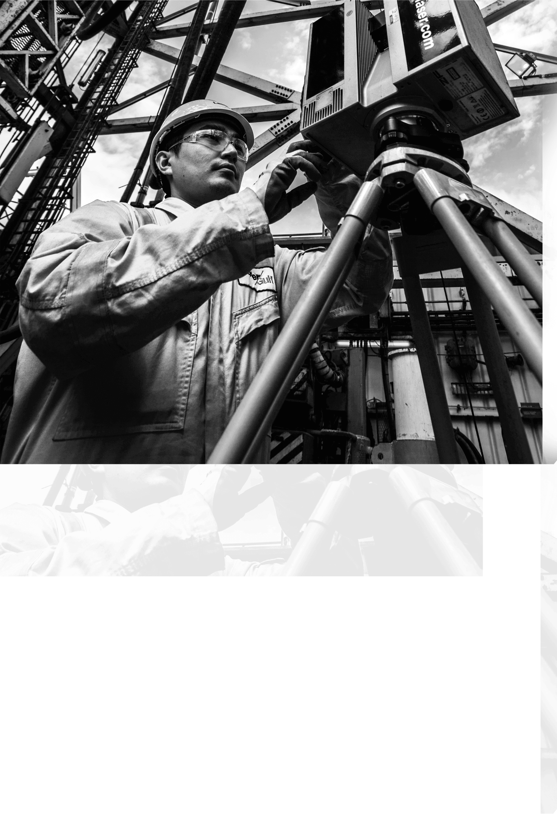
Laser Gulf Provides Laser Scanning for the Oil and Gas, Petrochemical, Pharmaceutical, Marine, Renewable and Nuclear Industries.
Laser Scanning technology to capture precise, high-resolution 3D data of physical environments or objects, which is then processed and delivered as a service for various applications.
Key Steps:
- Data Capture – A laser scanner emits laser beams to measure distances and create a point cloud representation of a structure or object.
- Processing & Modeling – The raw scan data is cleaned, registered, and converted into 3D models (BIM, CAD, or mesh models).
- Analysis & Delivery – The processed data is used for inspections, as-built documentation, simulations, or other client-specific needs.
Applications:
- Construction & Engineering (as-built documentation, clash detection)
- Surveying & Mapping (topographic surveys, land development)
- Industrial & Manufacturing (reverse engineering, quality control)
- Heritage Preservation (3D archiving of historical sites)
Benefits:
- High Accuracy – Sub-millimeter precision.
- Efficiency – Faster than traditional methods.
- Non-Contact – Safe for hazardous or hard-to-reach areas.
This service isproviding end-to-end 3D scanning solutions tailored to industry needs.
With a Highly Experienced Laser Scanning and Dimensional Control Survey team of over Eighty personnel, backed up by Administration and Finance staff in Four countries, operating worldwide, we are able to offer:
- Brownfield data collection of as-built information using Z&F, Leica and Faro scanners
- High speed, High Resolution results capturing a Million points per second
- 150m + Scanning Range with accuracy to ± 2 mm
- Overlay Design in Point Cloud, Design Model, VRS and Bubble view
- Point Cloud As-built information links to PDMS/E3D, Micro-Station, SP3D, Autodesk and BricsCad products and most 3D Modeling Systems
- Automatic Clash Detection between Pointcloud and Design
- Inteligent/Non-Intelligent Modeling in all Major 3D Software Packages